Select NOAA-NWS Forecast Office Text Products
(Product availability varies with seasons, forecast office, and weather.)
Forecast Discussion for Aberdeen, SD
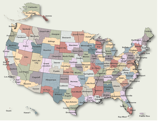
To Select Another NWS Office Click on Map or Choose from List
|
| Select Forecast Office: | Select Product: |
260 FXUS63 KABR 240749 AFDABR Area Forecast Discussion National Weather Service Aberdeen SD 149 AM CST Tue Feb 24 2026 .KEY MESSAGES... - Winds will shift northwesterly through the morning, with gusts of 30 to 40 mph. The combination of gusty winds and dry fuels lead to High to Very High Grassland Fire Danger over portions of central South Dakota today. - A disorganized system will bring the potential for light snow on Wednesday. Snow accumulations of an inch or less is possible within a broad area of light snow. However, locally higher snowfall amounts of 2 to 3+ inches could be possible within any narrow band or bands of snow that may develop. Low confidence remains on where the band(s) will track along with exact snow amounts. && .DISCUSSION... Issued at 149 AM CST Tue Feb 24 2026 As of 1AM the center of low was hovering over the ND/Canada border with the warm front extending southward through the central part of the CWA. Temps ahead of front range in the upper teens to the lower 20s (mid/upper 20s along eastern slopes of Coteau per downsloping winds) with parts of central SD in the upper 20s around 30. This warm front will continue to track eastward over the rest of the CWA with temperatures continuing to warm up behind it through early this morning. We have seen downslope wind gusts mainly between 25-35 mph with locally higher gusts of 50 mph at Peever, 46 mph at Altamont, and 43 mph at Summit between 10pm and a little after midnight. This threat will continue for the next few hours before winds shift more westerly. By 12Z models indicate this low will continue to track east and over northwestern MN/Canada with its cold front tracking northwest to southeast over the CWA through the morning with the fropa exiting our far southeastern CWA by the afternoon as winds over the CWA will be out of the northwest. On the backside of the low/upper lows, HREF indicates winds do increase within a jet in this northwest flow, with 850mb winds between 40-50kts and 700mb winds 50-65kts. Highest winds will be through this morning along and behind the cold front and when the strongest CAA will push through with this front. As colder air moves in from the north both at the surface and aloft, temps will are expected to fall from north to south through the day but really only over northeastern SD/western MN as warmer air holds steady over south central SD. So at the surface, winds will increase through the morning with gusts of 30 to 40mph, with locally higher gusts possible. The combination of gusty winds and dry fuels leads to High to Very High fire danger over portions of central SD. Lowest RH only drops to around 40% over south central SD so this will be more because of a wind issue. Radar indicates most of the precip is staying closer to the center of the low up in ND/MN. However, a couple of CAMs show the potential for far northeastern SD/western MN along the ND border could be clipped by some light snow/flurries or freezing rain between ~11-15Z. EC/NBM shows this possible ZR mixed in, however no ice accum is expected. So kept with the trend of slight pops of 15-25% for this timeframe. This may need to be adjusted accordingly. With this quick moving system, winds aloft and to the surface become weaker later on this afternoon as this low will continue to track east and a high pressure system settles to our northwest over Canada. Our attention then turns to Wednesday as confidence still remains low on this disorganized system that will bring the potential for one or several bands of light snow within a broader area of light snow. By 12Z Wednesday, the high is forecast to be over eastern ND/western MN with a surface low over WY/SD/NE border where it will track across Nebraska (while the high tracks into MN). Light snow/banded snow is expected on the northern gradient of this low, sandwiched between the high within a narrow gradient. Several models do indicate northwest to southeast oriented WAA/FGEN aloft, however, it is only for an hour or two and models differ quite a bit on intensity of this FGEN and exact location. All of the models agree on this northwest to southeast track of light snow either as one solid band or several smaller bands, but where they will actually track is uncertain at this moment, due to model variability. It seems there is a "broad" consensus of the broader swath of snow entering north central SD as early as 10-12Z and traveling southeast through southeastern SD into Iowa through Wed evening. However, some models like RAP/HRRR have this swath traveling more south with RRFS being more north. Luckily most of the models keep totals light of a few tenths up to 2" but models like the RRFS/NAM do show more of a banded setup with amounts potentially higher, up to 3-5". So to sum it all up a general inch or less possible within this broader area of snow with the potential for narrow bands of heavier snowfall within it, especially if coinciding with stronger forcing aloft. It is one of these scenarios that snow totals outside any potential stronger band will drop off dramatically to even nothing at all. So due to this uncertainty NBM has a broad brush 40-60% pops with the highest chances from north central southeastward through east central SD. Snow ratios will be lower then 10:1 over south central SD where anyways, snow or rain/snow will transition to rain as temps are forecast in the upper 30s to the mid 40s. SLR`s will increase the further north and northeast in the CWA with average around 14- 15:1 (closer to 18:1 far northeastern SD/western MN). NBM and grand ensemble HREF does smooth out the snow totals of 1-2" with even 95th percentile staying under 3". Luckily winds will not be overly strong with gusts of 15-25mph, while drifting snow is still possible in areas of falling snow, whiteout conditions are not anticipated. Behind this system, dry weather is forecast for the end of the week with a low passing west to east across Canada/Northern Conus with the possibility of light snow chances by the weekend per wave aloft. Temps will be in the 40s and 50s for the end of the week, cooling down to the teens to 30s this weekend. && .AVIATION /06Z TAFS THROUGH 06Z WEDNESDAY/... Issued at 1139 PM CST Mon Feb 23 2026 Terminals KABR,KATY,KPIR,KMBG VFR conditions for KABR/KMBG/KPIR. There may be some MVFR CIGS moving into KATY towards the end of the TAF period with a frontal passage, though confidence is low. Otherwise strong winds off the surface will result in wind shear overnight into Tuesday morning. && .ABR WATCHES/WARNINGS/ADVISORIES... SD...None. MN...None. && $$ DISCUSSION...MMM AVIATION...Vipond |
Previous Forecast Discussions may be found at
NWS Aberdeen, SD (ABR) Office Forecast Discussions.
(Click 'Previous Version' there to view past versions successively.
Some may differ only in time posted.)
Products Courtesy of NOAA-NWS
NWS Information Parsing Script by Ken True at Saratoga Weather - WFO and Products Scripts by SE Lincoln Weather.
Mapping by Curly at Michiana Weather and by Tom at My Mishawaka Weather.